美国国家地理一直孜孜不倦地追求着最完美品质,他们的标志性黄框框已经成为一种品质的象征,他们的摄影师拍摄的自然灾害方面的图片也让人叹为惊止。在华夏地理上看到2007年美国全球摄影大赛结果评选结果,我本想去NG网上看看这些原图,却发现了以下一些好的图片,不敢独享,共享之。请有兴趣者自行下载。
 |
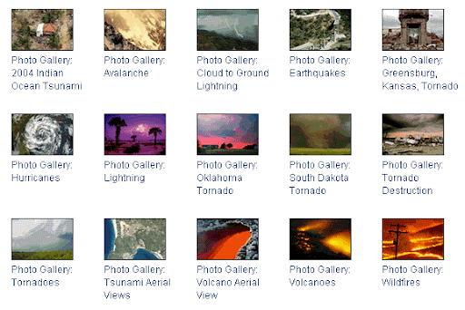
Cascades of snow, ice, and rock that can clear a mountainside.
|
 |
Our planet produces thousands of earthquakes a day.
|
 |
Tropical disturbances capable of substantial destruction.
|
 |
A potentially dangerous high-voltage discharge and flash.
|
 |
Storms that can pack the highest winds on Earth.
|
 |
Massive and destructive waves or tides haunting shores.
|
 |
Volcanoes are awesome manifestations of the fiery power contained deep within the Earth.
|
 |
Discover how a single spark can ignite an inferno that lasts for weeks.
|
|
评论
发表评论